A Cook Book Production · Exit 11 · Adel, Georgia

The WiregrassPeople

A narrative history of the founding families of Berrien and Cook County, Georgia — how they came, what they endured, and what became of them.

Foundation Volume Research & Narrative by Robin Postell Parts One & Two Welcome to the story
Contents

Fifteen chapters,
five parts

The spine of the work, fully drafted. Parts One and Two are set below. The rest follows in the next build.

PART ONE The Land Before the Families

PART THREE The Founders

  • VI Levi J. Knightnext build
  • VII The Families Gathernext build

PART FOUR Blood and Fire

  • VIII The Indian Wars of 1836next build
  • IX A County of Their Ownnext build
  • X The Minute Mennext build

PART FIVE What Became of Them

  • XI Turpentine and Steelnext build
  • XII Cotton, Tenancy, and the Liennext build
  • XIII Puddlevillenext build
  • XIV Cooknext build
  • XV The Backside of the Adel Trading Companynext build
Front Matter

A Note on Method
and Sources

This is a work of history held to the discipline of history. The names in it were real people. The dates, the land-lot numbers, the muster rolls, the census lines, the creek crossings—these are drawn from the documentary record and are not invented. Where a fact could not be established, this book says so rather than guessing, and where two records disagree, it tells you they disagree instead of quietly choosing one.

But the record is not the whole of what happened. A land-lot number tells you a family owned two hundred and fifty acres on a certain creek; it does not tell you what the wind sounded like moving through the longleaf pines above their cabin, or what a mother felt when the militia rode out. To carry the reader across that distance, this book uses the tools of narrative—scene, texture, the reconstructed feel of a morning—but it uses them honestly, and only in the joints between the facts. When you read that the pinewoods smelled of resin and burnt grass, that is the licensed imagination of a place that demonstrably smelled that way. When you read that a specific man drew a specific lot on a specific day, that is on paper somewhere with his name on it.

The foundation is broad and, in places, genuinely deep. The essential scaffolding of Wiregrass genealogy is the work of Judge Folks Huxford, whose multivolume Pioneers of Wiregrass Georgia gathered thousands of family sketches that would otherwise have died with the last person who remembered them. For Cook County in particular, the indispensable local authority is June Jackson Parrish, whose History of Cook County, Georgia and Its Municipalities remains the county telling its own story in its own voice. To these are joined the New Georgia Encyclopedia; the Georgia Archives records of the land lotteries and district surveys; the meticulous, primary-source local history assembled by the Ray City History Blog of the Ray City Community Library, which reproduces census entries, newspaper notices, and militia rolls; and the standard county and state references.

A word on what this volume is. A hundred pages of fully realized, family-by-family genealogy—the kind that follows the Knights and the Parrishes and the Gaskinses down through six generations with every marriage and grave accounted for—is not the work of a single sitting; it is the work of many, done carefully, one family at a time, against the primary record. What you hold is the spine of that larger book: the complete arc, fully drafted, into which those deep chapters will be set. It runs from the land itself, through the people who were dispossessed of it, through the families who took it, held it, bled over it, and were in turn remade by cotton and steel and time—and it ends where the memoir it belongs to begins, on a numbered street in Adel, a few blocks from home, thoroughly and instructively lost.

Hard history

A note on hard history. Parts of this story are ugly. The land these families settled was taken by force and by rigged lottery from the Muscogee and the Cherokee, and some of the founders held other human beings in bondage and grew wealthy by it. This book does not launder that. It records it plainly, names it, and holds it in the same frame as the courage and endurance that also belong to these people. Both are true. A history that flinches from either is not a history—it is a monument, and monuments are for the dead who can no longer argue.

Part One

The Land Before
the Families

The pine barrens are the most singular and interesting country I ever saw.— a traveler in the antebellum Wiregrass

Chapter One

The Wiregrass

Before it belonged to anyone, it belonged to the fire.

For thousands of years the great forest that would one day be cut into counties burned on a rhythm as regular as breathing. Lightning walked down out of the summer thunderheads and touched off the longleaf pine flatwoods, and the fire moved low and quick through the grass and cleared the floor of the woods and moved on. The tall pines, armored in thick plated bark and standing well apart, hardly noticed. The young ones survived because in their first years they hunkered close to the ground in a dense green tuft, like something between a plant and an animal, waiting out the flames before they shot upward. And running everywhere beneath the pines, binding the whole system together, was the plant that gave the country its name: a wiry, knee-high bunchgrass that carried fire the way a fuse carries a flame, and that would not set its seed unless it had recently burned.

This was the Wiregrass. Botanists would later give the grass a Latin name and the region a tidier definition—a swath of Georgia's Coastal Plain running down toward the Florida line, taking in some two dozen present-day counties, Berrien and Cook among them. But the people who lived in it did not need Latin. They knew it as the pine barrens, or simply the piney woods, and they knew its logic in their feet and their livestock. It was flat, sandy, and porous. Water stood in the low places and blackened into cypress ponds and bay swamps; on the ridges the soil ran so light and dry that a plow turned up little but sand and pine roots. To a planter's eye trained on the black belt and the tidewater—where a man measured his worth in bales of cotton and the human beings he forced to grow it—this was poor country, and that judgment, more than any other single fact, would shape everyone who came to live here.

Because the land was judged poor, it was left, for a while, to a different kind of people. The Wiregrass was not settled by the great planters. It was settled at the tail end of the eighteenth century and the first decades of the nineteenth by a folk migration of ordinary Euro-American families—and the enslaved African Americans they brought with them—drifting down out of the Carolinas and, in smaller number, Virginia. They came looking for what the barrens actually offered, which was not a cotton fortune but something older and, to them, more valuable: cheap land, open range, and the near-total absence of a wealthy class to lord over them.

They were, most of them, herders before they were farmers. The piney woods were unfenced and seemed to go on without end, and a family that owned only a modest parcel could turn cattle and hogs loose into a commons of hundreds of square miles, marking their ears and letting them forage the wiregrass and the cane and the mast of the swamps. Once a year the men would ride the range, gather the half-wild stock, cut out what they meant to sell, and drive it overland to a market town—Savannah, later Thomasville—to be traded for the few things the woods could not provide: salt, powder, iron, cloth, coffee. The rest of what they needed they grew or made or shot. A hog killed in the first cold snap, corn ground at a neighbor's mill, a deer, a mess of fish out of the river, syrup boiled down from their own cane. It was a life of hard, narrow self-sufficiency, and the men and women who chose it were, by temperament and by circumstance, independent to the point of stubbornness.

That independence has to be understood plainly, because it explains almost everything that follows. On the eve of the Civil War the Wiregrass was among the most thinly peopled parts of Georgia and of the whole eastern United States. It was, in the language of the time, a “white man's country”—not because slavery was absent, but because it was comparatively rare; most farming families here worked fewer than a hundred acres and owned no one, and raised their food to eat rather than a staple to sell. Only a single railroad, a line from Thomasville to Savannah, crossed the entire region in 1861. There were few towns of any size, and those sat at the edges of the forest rather than its heart. When the great crisis of the nation arrived, the men who governed Georgia looked down at these piney-woods farmers and worried, with reason, that men who owned no slaves might not be eager to die for slavery.

But all of that is getting ahead of the story. Before the families, before the lottery wheels and the militia musters and the county lines, there was only the land and the fire and the grass—and there were people already living in it, who had their own name for none of this, and whose removal is the dark foundation on which every family in this book built its house.
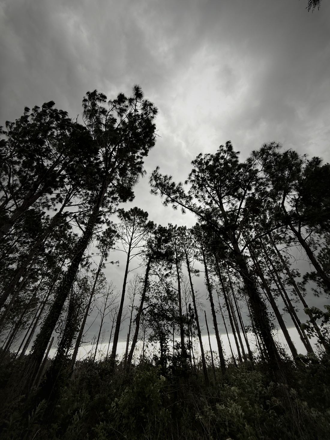
Longleaf pines under a heavy overcast sky, Cook County, Georgia
Longleaf under a working sky — the weather the fire came out of
Photograph © Robin Postell
It was a life of hard, narrow self-sufficiency, and the men and women who chose it were, by temperament and by circumstance, independent to the point of stubbornness.
Chapter Two

The People Who Were Already There

The county histories tend to open with the pioneers, as if the pioneers arrived in an empty country. They did not. The emptiness was manufactured, deliberately and within living memory of the first white settlers, and honesty requires that we begin where the land's human history actually begins.

When the Spanish adventurer Hernando de Soto cut across the lower Coastal Plain in 1540, dragging his armored column north out of Florida toward the Carolinas, there were people here to watch him pass. Among them were the Hitchiti, who were living along the Ocmulgee River and speaking a tongue related to but distinct from the Muscogee that would later dominate the region. De Soto's expedition brought little to these towns but disease and cruelty, and then it moved on; but the microbes it and later Europeans carried did a slower, more thorough work than any conquistador, hollowing out Native populations across the Southeast in waves the survivors could not have understood.

By the time sustained European settlement pressed into the Wiregrass in the late eighteenth century, the dominant people were the Lower Muscogee—the Creeks, as the English insisted on calling the loose and sophisticated confederacy of towns that held much of what is now Georgia and Alabama. The pine barrens along the Alapaha, the Withlacoochee, the Little River, and the great dark reach of the Okefenokee were Creek hunting ground, threaded with trails and camps and the deep local knowledge of people who had lived by this land for centuries. They were not passing through. They were home.

What happened next was not a misunderstanding or a tragedy in the sense of something no one intended. It was policy. The state of Georgia wanted the land, and it wanted it emptied of the people on it, and it pursued that end through a machinery of coerced treaties, rigged land lotteries, and—when those failed to move people fast enough—military force. The lotteries that opened this country to settlement, which the next chapter will describe in detail, were quite literally a system for taking Muscogee and Cherokee land and handing it by the drawing of a ticket to white Georgians who had never seen it.

The Creeks did not go quietly, and the last act of their presence in the immediate vicinity of Berrien and Cook County was written in blood in 1836, when bands of Muscogee moving through the region—some resisting removal, some simply trying to reach the relative safety of Florida and the Seminoles—collided with the settlers' militia in a series of running fights across the swamps. That collision, the Indian Wars of 1836 and the Battle of Brushy Creek, belongs to a later chapter, because by then the founding families were already on the ground and it was their war. But it is worth marking here, at the outset, that the “first, last, and only military engagement of any consequence” ever fought on the soil of present-day Cook County was fought to complete the dispossession of the people who were there first.

The emptiness was manufactured, deliberately and within living memory of the first white settlers.

None of this diminishes the settlers who came after, and this book will not pretend otherwise in either direction. The families in these pages were, overwhelmingly, poor and striving people who took a hard land and made a life on it and asked little from anyone. But they did so on ground that had been cleared for them by force, and many of them cleared it further with their own hands and guns, and a history that leaves that out is telling a fairy tale. The Muscogee names washed off the land—though a few, like Alapaha and Withlacoochee and Okefenokee, proved too deeply set to remove—and the families moved in. This is the story of what they built, but it opens on ground that was never empty.

Part Two

The Coming

A ticket that contained a number was called a Fortunate Draw.— Georgia Archives, on the land-lottery system

Chapter Three

The Lottery Wheel

No other state did it this way. Between 1805 and 1833 Georgia gave away the land it had taken from the Cherokee and the Muscogee—millions of acres of it, in the end the better part of the state—not by sale, not by grant to the powerful, but by lottery, spinning two great drums in the capital at Milledgeville and letting fortune decide who would own the interior of Georgia. There were eight of these drawings in all, and they remade the map of the state and the fortunes of thousands of families, including nearly every family in this book.

The mechanism was almost absurdly simple, which was the point. Before the lotteries, Georgia had distributed land through a headright system that was supposed to prevent corruption and instead became a byword for it, culminating in the notorious Yazoo fraud, in which the legislature was bribed into selling off enormous tracts at a fraction of their worth. The lottery was the reform. A citizen who met the qualifications—and the qualifications favored heads of household, married men, widows, orphans, and veterans—registered his name in his home county. Those names were copied onto slips and dropped into one wheel. Into a second wheel went slips marked with district and lot numbers. Commissioners appointed by the governor drew from both at once: a name from one, a lot from the other. If the second slip was blank, the settler got nothing. If it bore a number, he had made a “Fortunate Draw,” and could take out a grant to that parcel on payment of a modest fee. A poor man with no more capital than his own registration might, on the turn of a drum, become the owner of hundreds of acres he had never laid eyes on.

It is worth sitting with what that meant, and what it cost. The land in the wheels was not the state's to give in any moral sense. It had been “demanded,” in the bland verb of the records, from the Creek Nation after the Creek War of 1813–14, and later from the Cherokee; the treaties that legitimized the transfer were coerced and, in the final Cherokee case, fraudulent even by the standards of the day. Georgia ran the lotteries frankly as an instrument of state power—to strengthen the state, to increase its white population, and thereby to increase its weight in the Congress. The Fortunate Draw that started a Wiregrass family's rise was the same event, seen from the other side, that finished a Muscogee family's dispossession.

For our country, the decisive drawing was the third lottery, the Land Lottery of 1820. It was authorized by acts of the legislature in 1818 and 1819 and drawn over the autumn of 1820, and it threw open, among other places, the newly created county of Irwin—a vast original county out of which Berrien, and later Cook, would eventually be carved. The lots here were large, some of them the maximum 490 acres, a size that made sense in a country meant for open-range herding rather than intensive cultivation. Later lotteries in 1821, 1827, 1832, and 1833 finished the work across the rest of Georgia, but it was the 1820 draw that first put the land under the Alapaha and the Withlacoochee into the hands of individual white owners and set the stage for everything after.

There is a crucial subtlety in the records that has tripped up more than one family historian, and it is worth naming because this book means to be careful. A settler's registration fixed his residence at the time he registered, not at the time he finally claimed his land. A grant issued in 1842 for a lot drawn in 1820 still records where the drawer lived in 1819 or 1820—often a county far to the north and east, in the older settled belt from which these families were migrating. The paperwork, in other words, preserves the migration itself, if you know how to read it: a man of Telfair or Tattnall or Bulloch County, drawing a lot in the far southern pine barrens, and then, years later, actually pulling up and going to live on it. Many drew and never went, and their lots reverted to the state and were sold; the ones who went are the founders.

And to go, they needed a way in. A Fortunate Draw gave a family a number on a plat. It did not give them a road. In 1820 the country south of the Ocmulgee was still, to a settler, a trackless expanse of pine and swamp with no obvious way to move a wagon, a wife, four children, a few cattle, and everything a household owned into the middle of it. That problem was solved, as such problems usually were, by the army—and by a road cut for war that became, almost immediately, a road for families.

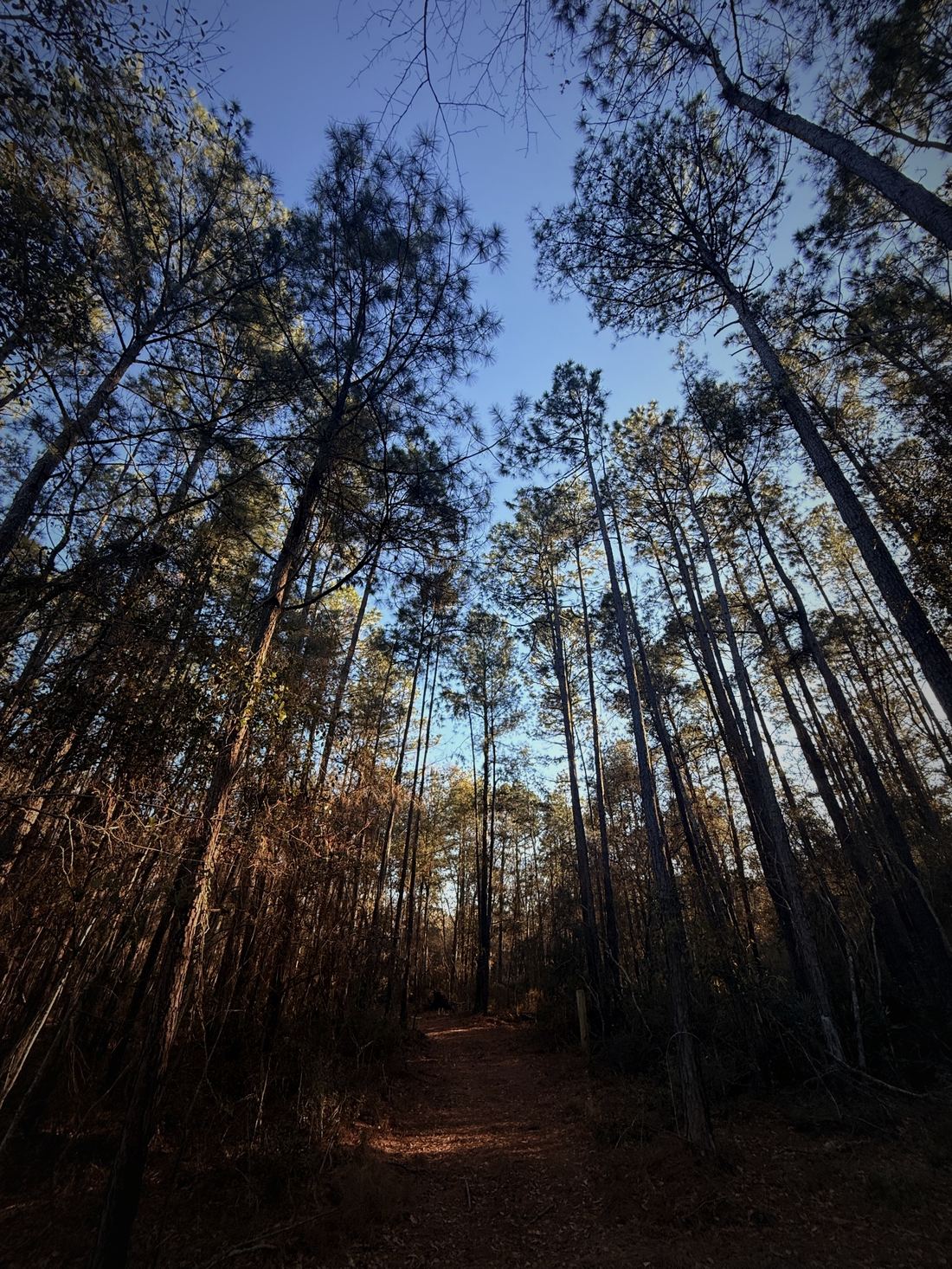
Looking up the trunks of longleaf pine, a sand track running in, Cook County, Georgia
Longleaf, looking up · south Georgia pine barrens — location to be confirmed
Photograph © Robin Postell
The Fortunate Draw that started a Wiregrass family’s rise was the same event, seen from the other side, that finished a Muscogee family’s dispossession.

Chapter Four

The Coffee Road

In 1823 a general named John Coffee, at the head of a work party, cut a road through the Wiregrass. It was built as a military road, a way to move troops and supplies through the southern frontier toward Florida in the running conflict with the Seminoles, and it ran diagonally down across the pine barrens from the older settlements toward the Florida line. Its purpose was strategic. Its effect was demographic. The Coffee Road became the great artery of settlement for the whole region—the way in—and the families who founded Berrien and Cook County came down it, or down the traces that fed into it, with their wagons and their stock and their fortunate-draw paperwork folded away against the day the land office would honor it.

A road through this country was worth little without crossings, because this country was cut everywhere by water. The Willacoochee, the Alapaha, the Little River, a hundred nameless branches and cypress runs—a wagon could not simply ford them, especially with a family and a year's provisions aboard. So the legislature authorized ferries, and men set themselves up at the crossings to run them. Consider Reuben Marsh, born about 1793 in Edgecombe County, North Carolina, brought to Georgia as a small boy around 1800 and orphaned young when his father died in Telfair County in 1805. Marsh was a Fortunate Drawer in the 1820 lottery. By about 1828 he had moved onto his land in the fifth district of old Irwin County, on a lot straddling Willacoochee Creek, and there he built a farm and a ferry and spent close to twenty years carrying travelers across the water on the Coffee Road. His life is a small perfect diagram of the whole process: a Carolina boy, orphaned, drawing a number in a lottery, coming down the military road, and planting himself at a crossing where the traffic of settlement had to pass through his hands.

Who were they, these people coming down the Coffee Road? The blunt answer of the records is that they were plain folk of the southern backcountry—English and Scots-Irish and a scattering of others, with names that recur across the Wiregrass counties like a refrain: Knight, Giddens, Gaskins, Griffin, Clements, Sirmans, Patten, Lee, Guthrie, Register, Lastinger, Parrish. They were, by and large, several generations removed from the old country by the time they reached the pine barrens, having drifted south and west down the great backcountry migration route through Virginia and the Carolinas over the better part of a century, farming and herding and moving on as land opened ahead of them. The Wiregrass was, for many of these families, the last stop on a journey their great-grandparents had begun on the far side of the Atlantic. When they got here, the land ran out at the Florida line and the ocean, and they stayed.

They brought a culture built for exactly this country. The open-range herding they practiced, the free use of unfenced commons, the marking of stock, the annual drive to market, the deep suspicion of anyone who tried to fence the range or tax the crossing or tell a man what to do on his own land—all of it had been carried down the backcountry from Pennsylvania and the Carolina upcountry and, before that, from the borderlands of Britain and Ulster, where herding and independence and a certain readiness to fight had been a way of life for centuries. Dropped into the pine barrens, that culture did not merely survive. It found its ideal home. The very poverty of the land, which kept the planters out, kept the piney-woods folk free, in their own rough and self-reliant terms, longer than almost anyone else in the antebellum South.

They were also, most of them, deeply and plainly religious, and the church came down the Coffee Road with the families. It was overwhelmingly a Baptist country—and within that, heavily Primitive Baptist, the “holdline” or “hardshell” faith of the frontier, austere and predestinarian and suspicious of missionary societies and paid clergy and every other modern softening. Congregations like Union Primitive Baptist gathered the scattered families across enormous distances into something like community, and the church minutes—who was received by letter, who was excluded for drunkenness or dancing, who was restored—are among the richest records we have of these people's inner lives, second only to the graves. The founders came to the Wiregrass for land. But they did not come without God, and the meeting house went up about as fast as the cabin.

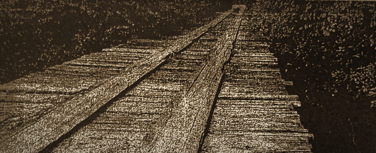
The wooden Futch Ferry bridge over the Withlacoochee River, where the Coffee Road crossed
Futch’s Ferry Bridge over the Withlacoochee — where the Coffee Road crossed, just south of present Georgia Highway 37. Thomas Futch ran a ferry at this crossing until the bridge went up in 1883.
Reproduced from the Adel News Centennial Edition, 1973
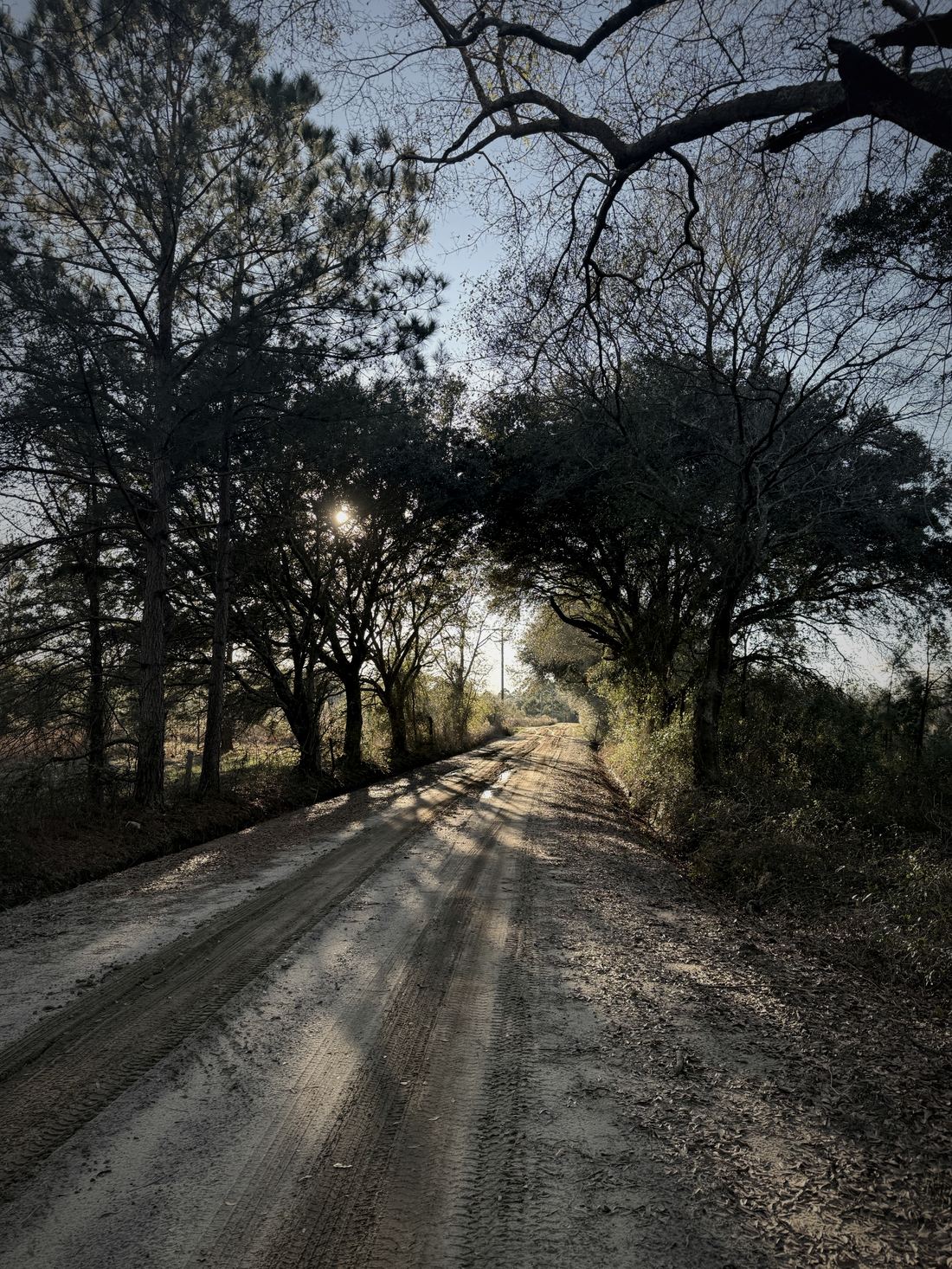
A sand road under oaks with wheel ruts and low winter sun, south Georgia
A sand road under the oaks — the Coffee Road ran through country like this. This is not that road.
Photograph © Robin Postell
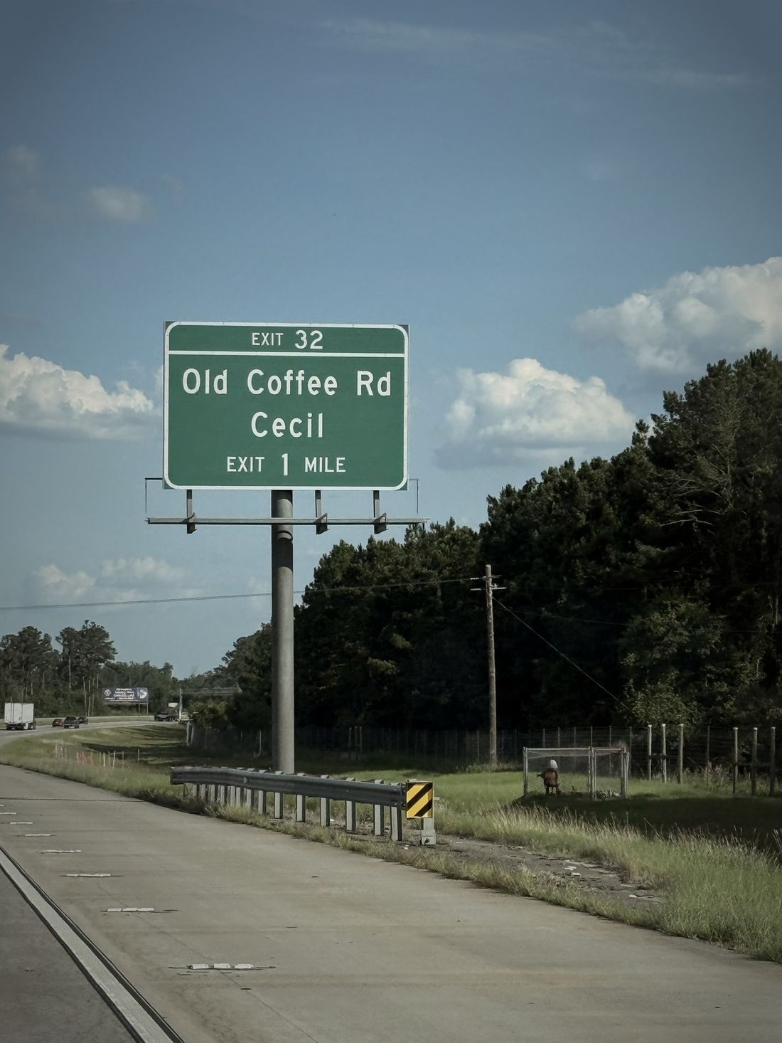
Interstate 75 sign reading EXIT 32, Old Coffee Rd, Cecil, Exit 1 Mile
Exit 32 · Old Coffee Rd · Cecil. Two hundred years after a work party cut it toward Florida, the road is still how the interstate tells you where you are.
Photograph © Robin Postell
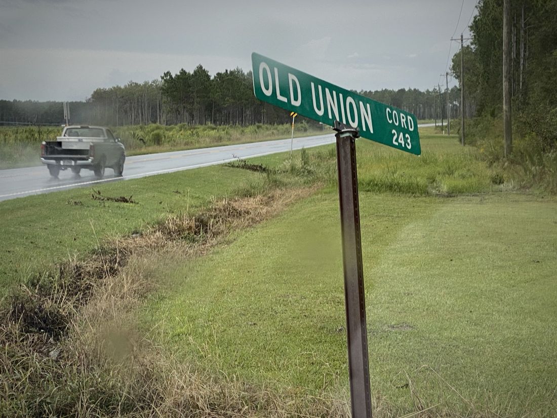
A county road sign reading OLD UNION, CORD 243, in the rain
OLD UNION · C.ORD 243. The Coffee Road’s companion, authorized by the same 1822 act. Both are still signed, and both still carry traffic.
Photograph © Robin Postell

Chapter Five

The Vanished County Seats

Government reached the Wiregrass late and moved around a good deal before it settled, and the trail of abandoned and renamed county seats is one of the best guides we have to how thinly and restlessly this country was first organized.

When the founders arrived, the land that would become Berrien and Cook County lay in old Lowndes and old Irwin—enormous original counties, drawn on the map long before there were enough people in them to fill a courthouse. The first seat of Lowndes County was a place called Franklinville, and it is a measure of how completely the early frontier could vanish that Franklinville is gone now so thoroughly that most people who live within a few miles of where it stood have never heard the name. It was there, at Franklinville, that the early grand juries met, that the militia gathered, that a traveling doctor named Motte recorded his arrival during the Indian troubles of 1836. And then the county seat moved, and Franklinville simply ceased to be a place and became a location—a set of coordinates in a field.

Its successor was Troupville, and Troupville's story is the same lesson written larger. It sat at the forks of the Withlacoochee and the Little River, and for a generation it was the town of the region, with its courthouse and its lawyers and its Fourth of July orations and its ambitious plans. When the railroad came through in the years around the Civil War, the surveyors ran the line a few miles to the south of Troupville, and the town got up and walked to meet the tracks, reassembling itself around the new depot as the city of Valdosta and leaving Troupville, like Franklinville before it, to melt back into the woods. The Wiregrass is full of these ghosts, and the founders lived among them without sentiment. A town was where the courthouse was and where the railroad ran, and when those moved, the town moved, and the graveyard stayed behind to mark where the people had been.

This restlessness was not carelessness. It was the honest response of a very poor and very spread-out people to the practical problem of governing an enormous, sparsely settled country. A man might live a full hard day's ride from his own courthouse. The militia districts—the basic unit of local organization, each with its number and its muster ground and its elected officers—were as much the real government of daily life as the county was, and their names and numbers thread through every record: the district where a man voted, drilled, paid his tax, and was buried. When the founders wanted anything from government, which was seldom, they got it at the district level from men they knew, and the distant courthouse at Franklinville or Troupville or, later, Nashville was a place you went once or twice in a lifetime, to record a deed or answer a summons or prove a will.

By the 1850s, though, the country had filled in enough that the old arrangement no longer served. There were now too many families, spread over too much ground, tied to a courthouse too far away, and the natural remedy in Georgia had always been to carve a new county out of the old ones and put its seat in the middle where people could reach it. The men who had come down the Coffee Road a generation before were now the established heads of families, the militia captains and the church deacons and the men of property, and they had both the standing and the motive to make it happen. In 1856 they did, and the county that resulted took the name of one of the most distinguished men in Georgia—though the man himself had, so far as the record shows, nothing to do with the place. But to understand how Berrien County was made, we have to turn first to the man who, more than any other, made it: the general who lived on Cat Creek and led the militia and laid out the county and would, in the end, lead its sons to war.

A town was where the courthouse was and where the railroad ran, and when those moved, the town moved, and the graveyard stayed behind to mark where the people had been.